Top 10 Benefits of Drone Surveying for Engineering Projects
Engineering projects depend on accurate site data, and drone surveying has changed how that data is collected. Instead of weeks of manual measurement, drones capture detailed maps, models, and elevation data in hours. This blog explains the top ten benefits of drone surveying for engineering projects, from faster turnaround and safer site access to better accuracy and cost savings. Whether you are managing roads, buildings, or industrial sites, understanding these benefits will help you see why drone survey in India is becoming the preferred choice for modern engineering teams.
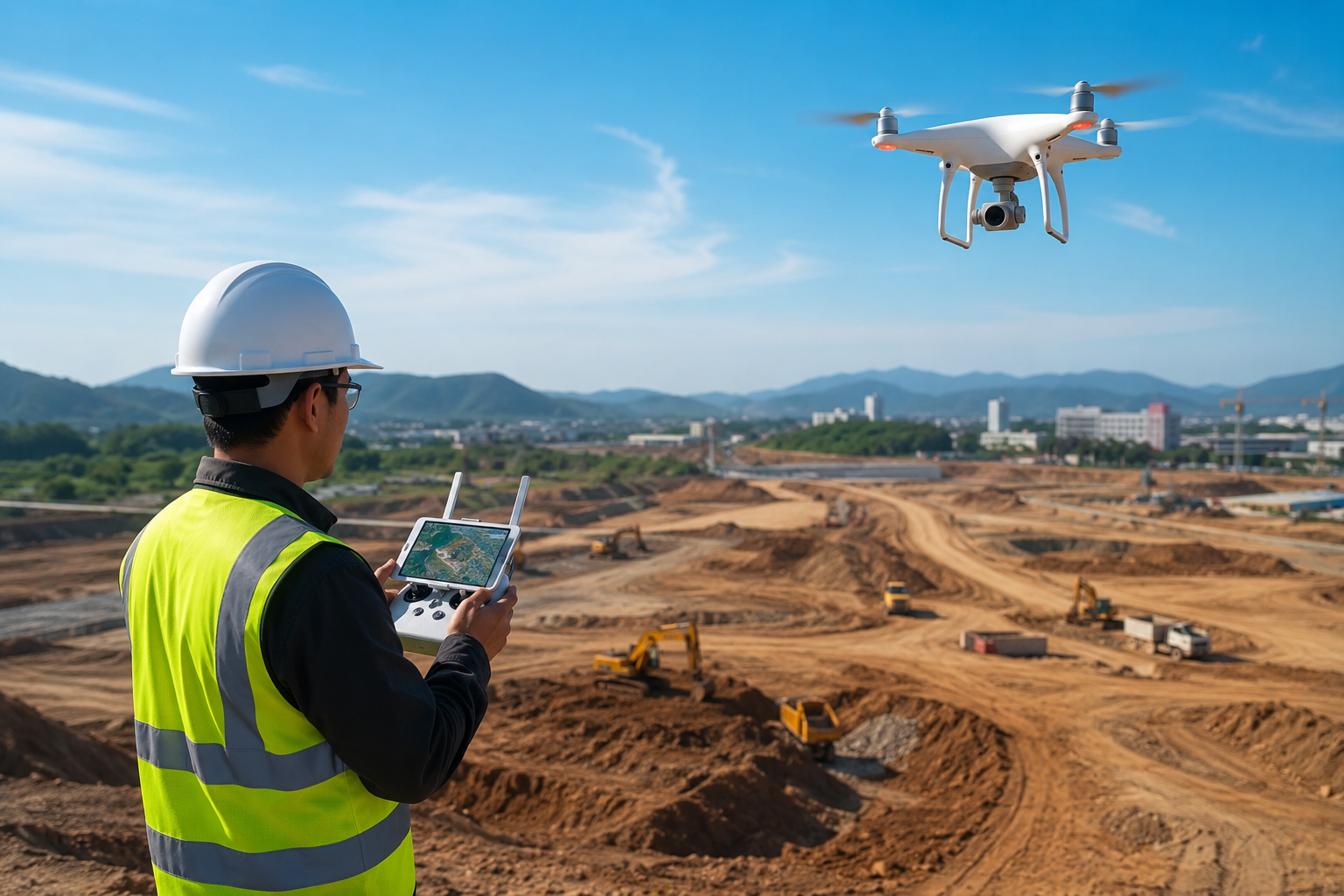
Engineering teams have always needed accurate site information before they can design, plan, or build anything. For years, this meant sending survey crews out with total stations and GPS equipment, walking every corner of a site, and spending days or weeks putting the data together. Drones have changed that process completely. Today, a single flight can cover a large site in a short time and produce data that is often more detailed than what traditional methods provide. Let's look at the top 10 benefits of drone surveying and why it matters for engineering projects.
- Faster Data Collection
A drone can survey hundreds of acres in a single day, something that would take a ground crew several days or even weeks. This speed means project timelines move faster and decisions can be made sooner.
- Higher Accuracy and Detail
Modern drones use high-resolution cameras and LiDAR sensors that capture millions of data points across a site. This level of detail helps engineers spot issues early, such as drainage problems or uneven grading, before construction begins.
- Safer Access to Difficult Areas
Some sites are hard or dangerous to survey on foot, such as steep slopes, active construction zones, or areas near heavy machinery. Drones remove the need for workers to physically walk into these risky spots, reducing accidents and injuries.
- Lower Overall Cost
While drone equipment has an upfront cost, the time saved on labor, travel, and repeat visits often makes drone surveying cheaper in the long run compared to traditional survey methods.
- Better Data for Planning and Design
Drone surveys produce orthomosaic maps, 3D models, and elevation data that engineers can directly use in design software. This reduces guesswork and helps teams plan foundations, grading, and drainage with more confidence.
- Regular Progress Monitoring
Drones make it easy to track how a project is progressing over time. Weekly or monthly flights over the same site let project managers compare data and see exactly how much work has been completed.
- Reduced Human Error
Manual measurements depend on the surveyor's technique and can vary from person to person. Drone data is captured consistently every time, which reduces mistakes and keeps results reliable across the whole project.
- Easy to Share and Understand
Drone survey outputs, like maps and 3D models, are visual and easy to explain to clients, contractors, and stakeholders who may not have a technical background. This helps everyone stay on the same page.
- Works Well for Large and Remote Sites
For large infrastructure projects such as highways, dams, or mining sites, walking the entire area for survey work is impractical. Drones cover large and remote areas quickly, without needing heavy equipment or long travel times.
- Supports Better Compliance and Documentation
Many projects require documented proof of site conditions before, during, and after construction. Drone surveys create a clear visual and data record that can support compliance reports, audits, and legal documentation if needed.
Why Choose a Professional Drone Survey Partner
Good equipment alone does not guarantee good results. You also need a team that understands engineering requirements and can turn raw drone data into something usable. This is where Edge3D comes in. Edge3D works with engineering and construction teams across the country to deliver accurate, ready-to-use survey outputs, making drone survey in India simpler and more reliable for projects of any size.
If your project needs fast, accurate, and cost-effective site data, drone surveying is worth considering. You can learn more about how this works on the Edge3D drone surveying page.
Frequently Asked Questions
What is drone surveying used for in engineering projects?
It is used to collect site data such as maps, elevation, and 3D models for planning, design, and construction monitoring.
Is drone surveying accurate enough for construction planning?
Yes, modern drones capture highly detailed data that is often more accurate than traditional manual survey methods.
How long does a drone survey take?
Most sites can be surveyed within a few hours, depending on the size and complexity of the area.
Is drone survey in India commonly used for large infrastructure projects?
Yes, it is increasingly used for roads, mining sites, and industrial projects because it saves time and reduces cost.
Do I need special permission to fly drones for surveying?
In most cases, yes. Drone flights need to follow local aviation rules, and a professional survey provider will handle this for you.
#dronesurveyinindia