How Drone Surveys in India Play an Important Role?
Drone surveys solve slow, costly, and inaccurate mapping problems. Traditional surveys often require more time, manpower, and fieldwork. Drone technology captures large areas quickly with detailed aerial images. This makes land mapping faster, clearer, and highly efficient. It also supports better planning across India's growing infrastructure.
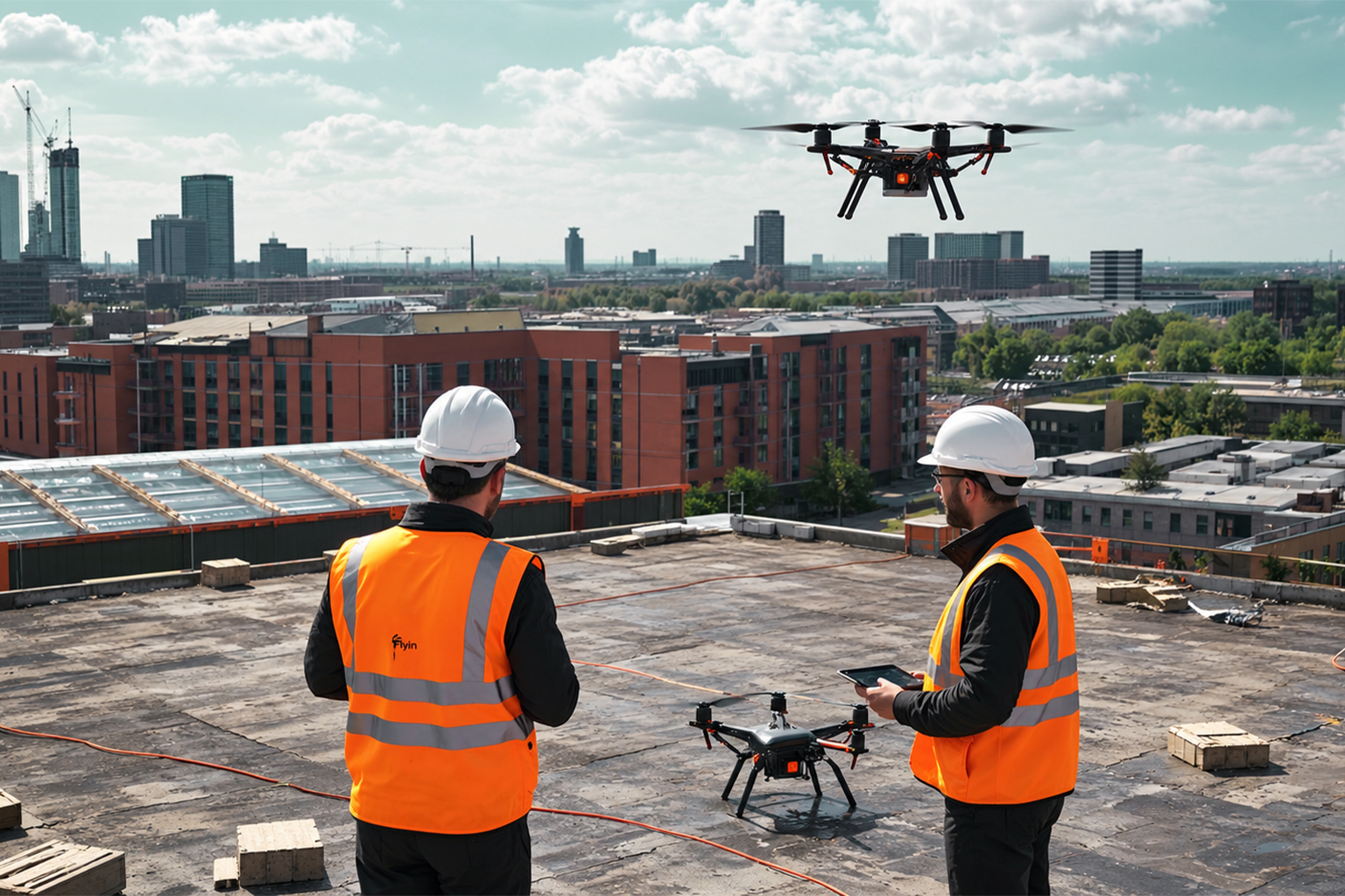
Why Are Drone Surveys Becoming Important?
India needs accurate data for land and infrastructure projects. Manual surveys can struggle across large or difficult areas. Drones collect high-resolution images with precise geographic information. Survey teams can then convert images into useful digital maps.
Key advantages include:
- Faster land and infrastructure mapping
- Reduced dependence on extensive fieldwork
- Better visibility of difficult terrain
- Accurate digital mapping and documentation
- Faster project monitoring and progress tracking
- Useful data for GIS-based planning
Major Applications Across Different Indian Sectors
| Sector |
How Drone Surveys Help |
| Land Mapping |
Maps boundaries and
property areas accurately |
| Construction |
Tracks project progress and
site conditions |
| Roads |
Supports route planning and
terrain assessment |
| Mining |
Measures excavation areas
and stockpiles |
| Agriculture |
Helps analyse crops and
farmland conditions |
| Urban Planning |
Creates detailed spatial
information |
| Infrastructure |
Supports surveys,
monitoring, and planning |
| Disaster Management |
Provides rapid aerial
information |
| Power Projects |
Helps inspect corridors and
infrastructure |
| GIS Mapping | Creates detailed spatial
datasets |
Drone Surveys Improve Infrastructure Planning
Infrastructure projects require reliable ground information before construction. Drone surveys provide aerial data for roads, bridges, buildings, and sites. Engineers can analyse terrain before making important project decisions. This can reduce costly errors during later construction stages.
Drone data also supports regular project monitoring after construction begins. Teams can compare current images with planned project milestones. This creates a stronger system for tracking construction progress. It also improves communication between field and management teams.
Drone Surveys Strengthen Rural Development
Rural India benefits significantly from accurate digital property mapping. The SVAMITVA programme connects drone mapping with property ownership records. It also supports village planning through GIS-based digital maps. Better maps can help authorities allocate development resources efficiently.
The government reported drone surveys across 3.20 lakh villages. These surveys covered approximately 68,122 square kilometres nationwide. Such large-scale implementation highlights significant technology adoption. It also shows how drones support modern governance systems.
What Makes Drone Surveying More Powerful?
Drone surveys combine aerial imaging with modern mapping technologies. Survey teams can process captured images into detailed digital outputs. These outputs may include orthophotos, elevation models, and parcel maps. GIS platforms can then use this information for analysis.
Important technologies include:
- UAVs: Capture aerial survey images.
- GIS: Stores and analyses geographic information.
- CORS: Supports accurate geographic referencing.
- Photogrammetry: Converts images into measurable information.
- Orthophotos: Provide corrected aerial imagery.
- DEM: Represents terrain elevation digitally.
The Future Looks Strong for Drone Surveys
India has identified drones as an important emerging technology sector. Government policy has encouraged drone adoption across multiple industries. Applications already include agriculture, mapping, mining, infrastructure, and emergencies. India also aims to become a global drone hub.
Future drone surveys could become more automated and data-driven. Artificial intelligence can help identify objects within survey imagery. Cloud platforms can also simplify large-scale survey data management. These developments could make surveying faster and increasingly accessible.
Why Choose Drone Surveying in India?
Businesses need reliable information before making expensive project decisions. Drone surveys provide visual evidence instead of relying only on assumptions. They can reduce repeated site visits and improve survey productivity. Most importantly, they create useful digital data for future planning.
For large land, construction, infrastructure, or mapping projects, drone technology offers significant value. Choose professional drone surveying to capture accurate data faster. Use reliable survey outputs for confident planning and smarter decisions.
Start your drone survey project today at Edge 3D Technologies and transform your mapping process.
Frequently Asked Questions
What is a drone survey?
A drone survey captures aerial images for mapping purposes. Special software converts these images into useful survey data.
Why are drone surveys important in India?
They make large-area surveying faster and more efficient. They also support accurate digital mapping and planning.
Where are drone surveys used?
They are used in construction, agriculture, mining, and infrastructure. They also support land mapping and disaster management.
Are drone surveys accurate?
Professional surveys can provide highly detailed geographic information. Accuracy depends on equipment, control points, processing, and conditions.
What is GIS mapping?
GIS connects geographic information with digital mapping systems. It helps teams analyse locations, boundaries, and spatial relationships.
How does SVAMITVA use drones?
SVAMITVA uses drones to map rural inhabited areas. The resulting data supports property records and village planning.
Can drones survey construction sites?
Yes, drones can capture regular construction site imagery. Teams can use it for progress monitoring and documentation.
Can drones help landowners?
Drone mapping can clarify property boundaries and create digital records. Government programmes use this approach for rural property mapping.
What technologies support drone surveys?
Common technologies include UAVs, GIS, CORS, and photogrammetry. These technologies work together to create survey-ready datasets.
What is the future of drone survey in India?
The sector is expected to expand across mapping and infrastructure. AI and automation could make future surveys even more powerful.