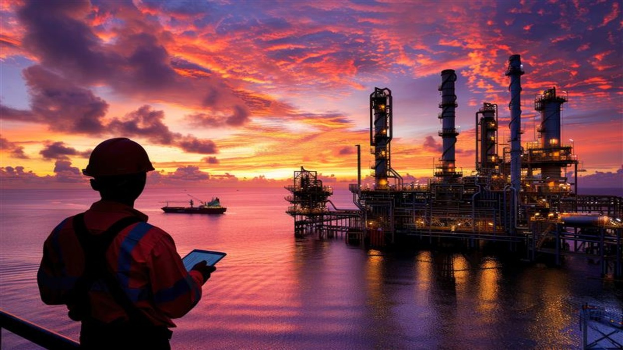
How 3D Laser Scanning is Transforming the Oil & Gas Industry
The world of oil and natural gas is one of the most complex industries to do business in; therefore, precision, safety and efficiency are of utmost importance to all facilities within this sector. Refineries, offshore platforms and processing facilities consist of substantial amounts of equipment, pipelines and structures that rely on detailed accurate documentation in order to maintain and upgrade plants. This 3d laser scanning for the oil and gas industry has revolutionised the way companies document physical properties.
With advanced technologies such as 3D laser scanning and modelling, companies are able to quickly capture digitally detailed representations of their respective industrial facilities with a high level of accuracy. The use of these digital models gives engineers, project managers and operators the tools needed to make informed decisions, decrease downtime and improve the safety of operations.
This is a brief introduction into how 3d laser scanning for oil and gas will change industrial efficiencies through modern technology. The use of laser scanning within the oil & gas industry has received significant interest from companies wanting to implement this technology into their business processes.
What is 3D Laser Scanning
3D laser scanning is a technology that enables a scanning laser to “see” and capture the physical world in three dimensions by measuring millions of individual data points in a fraction of a second. Using the collected spatial data, the scanner creates a point cloud that represents the exact geometry of an object or facility. The data is then processed into 3D models, CAD drawings, or BIM models to create highly accurate digital representations of the asset.
In industries such as oil and gas, where the infrastructure is complex and continuously evolving, 3D scanning services can provide dependable, accurate data that is typically unobtainable through conventional surveying techniques.
Why the Oil & Gas Industry Needs Accurate Digital Documentation
Complex systems like pipelines, pressure vessels, structural framework, and equipment layout make oil and gas facilities complex to operate, which require proper document management to properly run facilities.Unfortunately, most oil and gas facilities are often working off of outdated drawings and incomplete records. As a result, a wide variety of circumstances can all result in major difficulties for facilities during:
- Plant Upgrades
- Maintenance
- Safety Inspections
- Equipment Installations
- Expansion Projects
3d Laser Scanning for oil and gas has become an invaluable tool for capturing real-world data and providing accurate digital representations of the entire facility.
Benefits of 3D Laser Scanning for Oil & Gas Facilities
1. High-Precision Measurement
Laser scanning uses laser beams to make millions of measurements very accurately to the nearest millimetre. Engineers rely on this to ensure that they have reliable data for designing changes to their facility or for planning maintenance work.
2. Faster Data Collection
Using traditional methods, it can take surveyors weeks to collect measurements on a large industrial plant (building). Using 3D scanning services, surveyors can complete the entire scanning of any facility/hall within a few hours. This will also reduce the amount of time the project takes. Additionally, teams will be able to get the data they need to complete their work much more quickly.
3. Improved Safety for Workers
Oil and gas facilities can contain hazardous environments, including high-pressure systems and confined spaces. Using 3d laser scanning for oil and gas, engineers can capture site data remotely without exposing workers to dangerous conditions. This improves overall workplace safety while still collecting accurate measurements.s.
4. Better Maintenance and Asset Management
Digital models created from laser scanning allow companies to monitor assets more effectively. Engineers can identify structural issues, equipment misalignments, or pipeline changes without visiting the site repeatedly.This improves predictive maintenance and reduces unexpected equipment failures.
5. Accurate As-Built Documentation
Facilities often undergo multiple modifications over time, which may not always be reflected in existing drawings. 3D scanning helps create accurate as-built models, ensuring engineers work with updated information when designing upgrades or modifications.
Key Applications of 3D Laser Scanning in Oil & Gas
Plant Revamp and Expansion
When expanding or upgrading facilities, engineers require accurate measurements to ensure new equipment fits within existing structures. Laser scanning provides precise spatial data that simplifies planning and design.
Pipeline and Equipment Layout Documentation
Industrial plants contain complex pipe networks. Laser scanning captures the exact position of pipelines, valves, and equipment, helping engineers create accurate models for future projects.
Offshore Platform Documentation
Offshore structures are difficult to measure manually. With 3d laser scanning for oil and gas, teams can quickly document offshore platforms and generate digital models for inspection and maintenance.
Safety Planning and Risk Analysis
Digital models allow teams to simulate potential safety risks and plan emergency evacuation routes. Engineers can analyze facility layouts without needing to physically access hazardous areas.
Integrating 3D Laser Scanning with BIM
Another major advantage of laser scanning is its integration with BIM modeling services in India. The point cloud data generated from scanning can be converted into detailed BIM models.
These models help project teams:
- Visualize facility layouts
- Plan maintenance tasks
- Design equipment upgrades
- Coordinate engineering teams
BIM integration improves collaboration across multiple departments and reduces project delays.
Why Companies Are Adopting 3D Laser Scanning
As the oil and gas industry continues to modernize its operations, digital technologies are becoming essential for efficient asset management.
Companies are increasingly adopting 3d laser scanning for oil and gas because it offers:
- Highly accurate measurements
- Reduced operational risks
- Faster project execution
- Improved documentation
- Better collaboration between engineering teams
With reliable 3d scanning and modeling services, organizations can optimize their operations while maintaining safety and efficiency.
How Edge 3D Technologies Supports Oil & Gas Projects
Edge 3D Technologies is among the leading 3d laser scanning companies in India, delivering advanced 3d scanning services for complex industrial environments.
Our services include:
- Industrial facility scanning
- Pipeline and equipment documentation
- Point cloud processing
- BIM modeling services in India
- As-built documentation for industrial plants
By leveraging advanced scanning technology and expert engineering workflows, we help oil and gas companies improve accuracy, safety, and project efficiency.
Conclusion
Precise documentation, along with dependable data, is necessary to properly manage and control large industrial facilities in the oil and gas industry. Oftentimes, traditional survey methods cannot meet the accuracy and detail required for modern engineering projects. As a result, surveyors are increasingly implementing 3D laser scanning as a standard survey tool. With high quality and accurate digital models being produced at faster rates and increasing levels of safety, 3d laser scanning for oil and gas industry plans and manages its facilities and operations. Digital transformation is continuing to accelerate across the energy markets and will drive 3D laser scanning and modeling to provide new and innovative ways to improve efficiency, lower costs, and create a safer industrial environment in the future.
FAQs
1. What is 3d laser scanning for oil and gas?
It is a technology that captures precise measurements of industrial facilities using laser scanners, creating digital models used for maintenance, planning, and engineering projects.
2. Why is laser scanning important in oil and gas facilities?
Laser scanning provides accurate data about plant structures, pipelines, and equipment, helping engineers plan upgrades and maintenance more efficiently.
3. How accurate is 3D laser scanning ?
Modern laser scanners can capture measurements with millimeter-level accuracy, making them highly reliable for engineering applications.
4. What is a point cloud in laser scanning?
A point cloud is a collection of millions of data points captured by the scanner that represents the exact geometry of a scanned object or facility.
5.Can laser scanning reduce project costs?
Yes. By providing accurate measurements and reducing errors, laser scanning helps prevent costly rework and delays during engineering projects.
6. How long does it take to scan an industrial facility ?
Depending on the size of the facility, scanning can take anywhere from a few hours to a few days.
7. Is laser scanning safe for hazardous environments?
Yes. Laser scanners can capture data remotely, minimizing the need for workers to enter dangerous areas.
8. How does laser scanning support BIM modeling?
The point cloud data from laser scans can be converted into BIM models, allowing engineers to visualize and plan facility upgrades accurately.
9. What industries use 3D laser scanning besides oil and gas?
Industries such as construction, marine engineering, manufacturing, infrastructure, and heritage preservation also use 3D laser scanning technology.
10. How often should facilities update their digital documentation?
Facilities should update their documentation whenever modifications or upgrades are made to ensure engineers always work with accurate data.
#3Dlaserscanningfortheoilandgas #3Dlaserscanningandmodelling #3Dscanningservices #bimmodelingservicesinIndia